Avenza Maps
Free App – Free Map
Avenza Maps

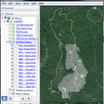
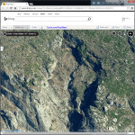
Google Earth
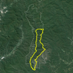
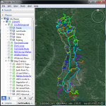 | LGMAPS Collection for Google Earth Explore the Gorge in 3-D! |
Garmin GPS
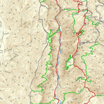
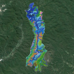
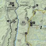
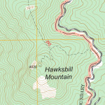
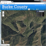
 | LinvilleGorge.net Trail Map LinvilleGorge.net, 2016 |
Printed Maps
Guidebooks
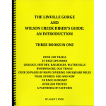 | The Linville Gorge Hiker's Guide Allen Hyde, 2014 |
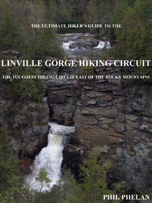 | The Ultimate Hiker's Guide to the Linville Gorge Hiking Circuit Phil Phelan, 2013 |
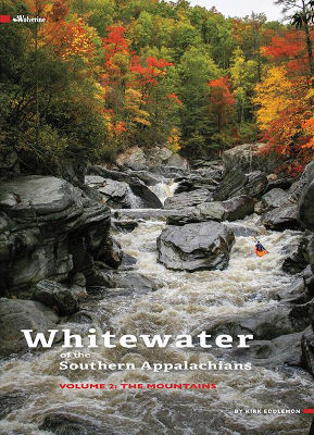 | Whitewater of the Southern Appalachians Kirk Eddlemon, 2014 |
Historical Maps
 | Historical Topographic Map Collection US Geological Survey |
 | North Carolina Maps Historical Collection University of North Carolina |
 | North Carolina Historical Topographical Maps University of Texas |
 | David Rumsey Map Collection |
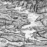
 | A Compleat Map of North Carolina Collet, Bayly, & Hooper, 1770 |
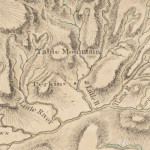
 | First Actual Survey of North Carolina Price, Strother, & Harrison, 1808 |
 | Map of the Cherokee Nation Charles Royce, 1884 |
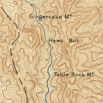 | Morganton Quadrangle US Geological Survey, 1886 |
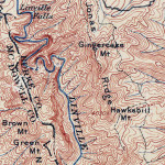 | Morganton Quadrangle US Geological Survey, 1903 |
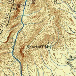 | Morganton Quadrangle US Geological Survey, 1905 |
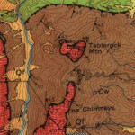
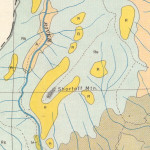 | Burke County Soil Survey NC Department of Agriculture, 1926 |
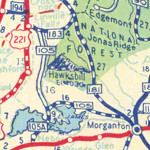 | NC State Highway Map NC State Highway Commission, 1936 |
 | Burke County Highway Map NC State Highway Commission, 1938 |
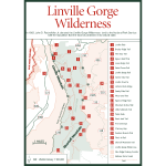
 | Linville Gorge Wilderness US Forest Service, 1986 |
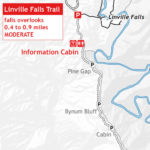
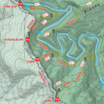
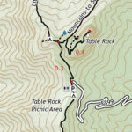
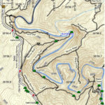 | LinvilleGorge.net Trail MapLinvilleGorge.net, 2013 |
Online Resources


Errata Studies
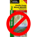 | Linville Gorge / Mount Mitchell National Geographic, 2006 |
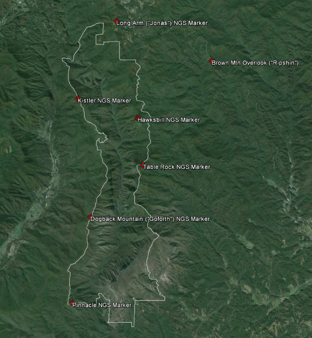
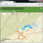
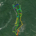 | Linville Gorge Trail System US Forest Service |