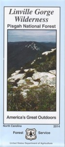
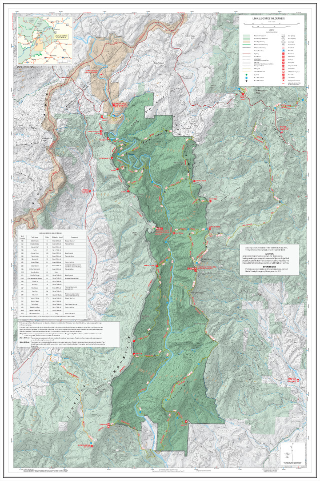
The 2014 US Forest Service “Linville Gorge Wilderness” map distinguishes itself as the best retail map available in print. Sturdy, attractive, and with relatively few errors (see below), this is the commercial map recommended by most gorge enthusiasts. Only official USFS trails are included. Omission of unofficial trails gives a simplified but serviceable picture of the gorge trail system, superior to the error-ridden National Geographic Linville Gorge / Mount Mitchell map.

This print map may be purchased from the National Forest Map Store as well as the Info Cabin near Linville Falls and other USFS offices, and perhaps also in other retail locations. Price: $10.00 Watch out when purchasing this map off the shelf because there are still copies of the older 2009 edition floating around. You want the 2014 edition.
If you have the free Avenza Maps app installed on your phone you can download the USFS Linville Gorge map from the Avenza Store. Price: $2.00
You can also download the USFS map as a free geospatial PDF from LGMAPS.
If you just want to download a free map to print yourself or use on your smartphone, then you should probably opt for the community-created LinvilleGorge.net Trail Map, which is more accurate and more complete than the USFS product.
Download US Forest Service “Linville Gorge Wilderness”
Works in Avenza Maps and Adobe Reader
PDF (45MB)
Errata
There are few errors in this map worth mentioning. The routes illustrated for Hawksbill Trail and Rock Jock Trail are inaccurate but basically serviceable. There is some potential confusion in the area where the Mountains-to-Sea Trail (MST) crosses the Linville River. There’s a quirky but relatively harmless error that labels a fictitious “Sea Gap Trail” on the map. Anyone interested in these details may need to check out the LinvilleGorge.net Trail Map. Overall the USFS map is a fine product in a quality print format.

