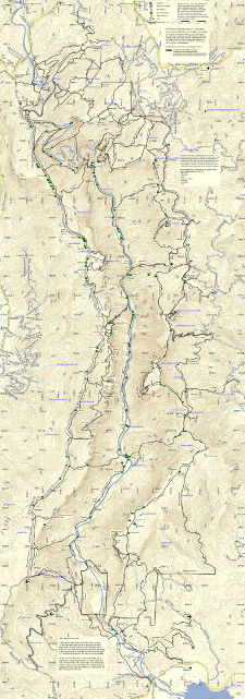
The 2013 edition of the LinvilleGorge.net map was significantly revised in 2016. If you want a map for hiking in the Gorge, you probably want to download the current edition.
In 2013, Mike Jones updated the LinvilleGorge.net map created by the Gorge Rats. As a huge improvement in presentation of the dataset, this map quickly became the standard for the community.
For historical as well as sentimental reasons, you may want to check out the following versions of the 2013 map:
JPG Image. Painstakingly Assembled in Photoshop!
This was the most popular format.
JPG (35 MB)
Map Book for Home Printing
Prints on 19, 8-1/2″ x 11″ Pages
PDF (5 MB)
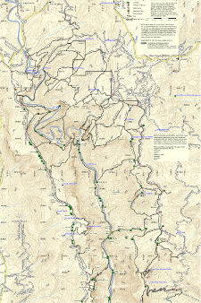
Poster Print – North Half
Take to a Print Shop
TIF (69.6 MB)
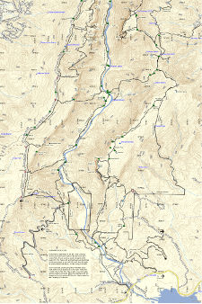
Poster Print – South Half
Take to a Print Shop
TIF (66.5 MB)


