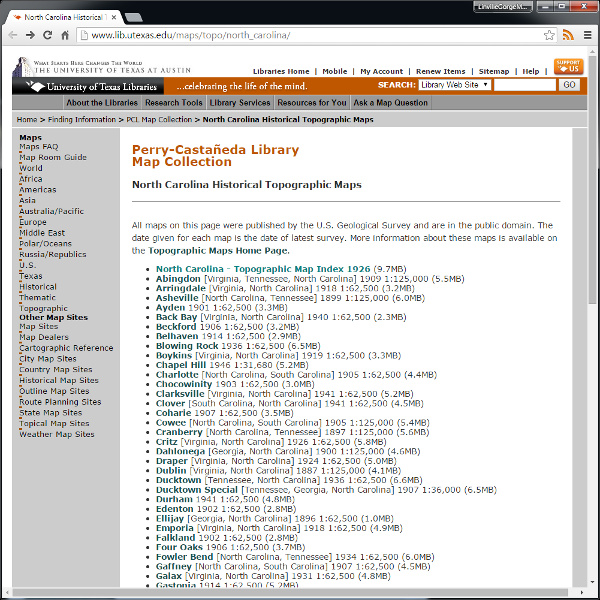
The University of Texas map collection includes North Carolina Historical Topographic Maps, an archive of US Geological Society topographic maps. There are two maps of interest here: the 1886 Morganton Quadrangle and the 1903 Morganton Quadrangle. Note that at the time these maps where made, a different grid was used for defining quadrangles, as is shown in the collection’s 1926 Topographic Map Index.

