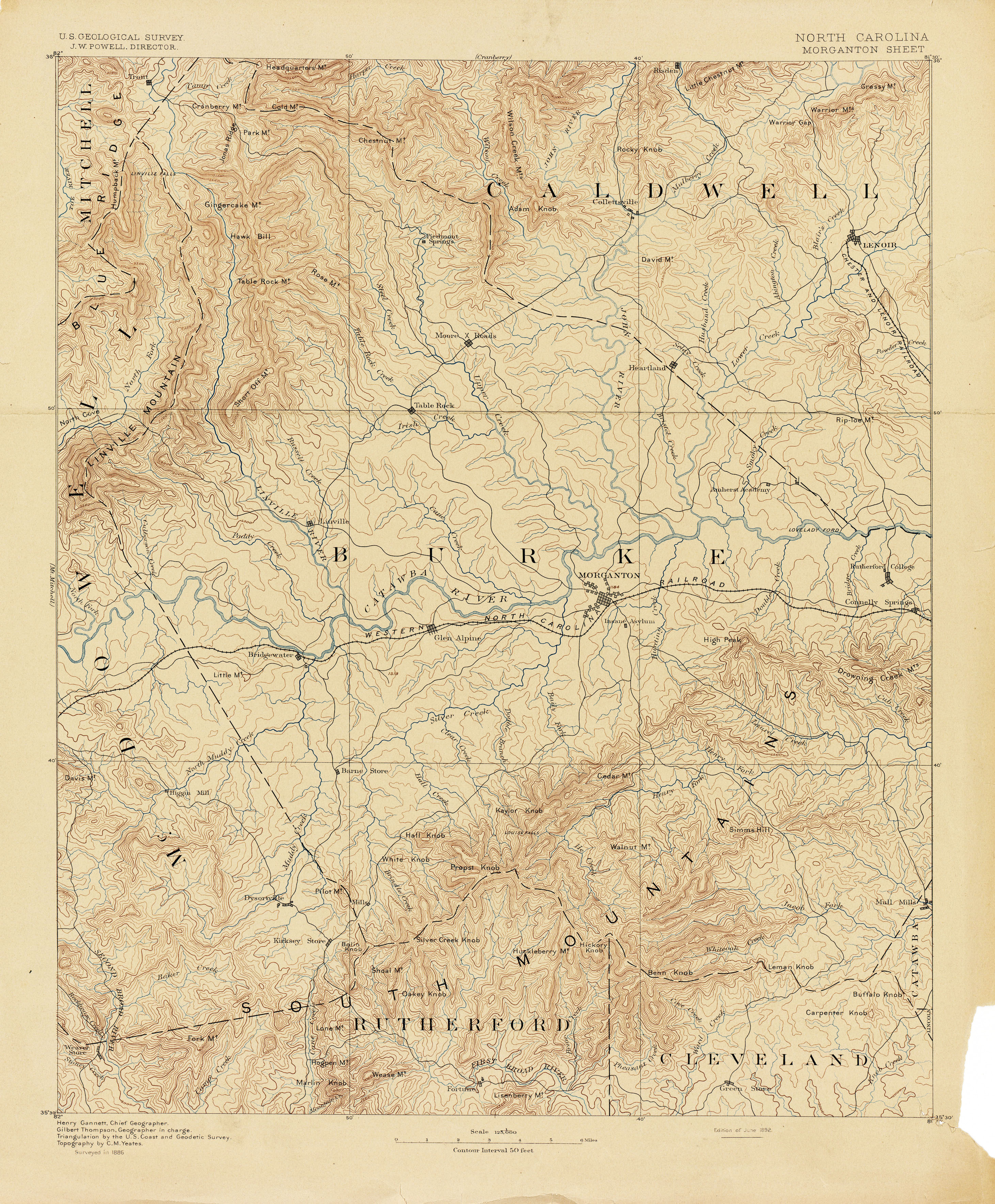
University of Texas North Carolina Historical Topographic Maps includes the 1886 USGS Morganton Quadrangle. This map is interesting for its labeling and errors.
- “Jonas Ridge” is applied only to the area of Ball Ground and Long Arm Mountains. By the time of the 1903 Morganton Quadrangle, “Jonas Ridge” is applied more in keeping with today’s notion: extending from Ball Ground all the way south to Hawksbill.
- Hawksbill is labeled “Hawk Bill”. This would change by 1903.
- Shortoff is “Short Off”. This too would change by 1903.
- Note the absence of the Bynum/Brushy/Babel river canyon. This is corrected by 1903.
