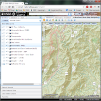
The US Geological Society National Map Viewer is an interactive online tool to help you view and download their map data. Topography, hydrography, imagery, and many more layers are included. It’s a nice interface when it works, but can sometimes be slow and frustrating.

