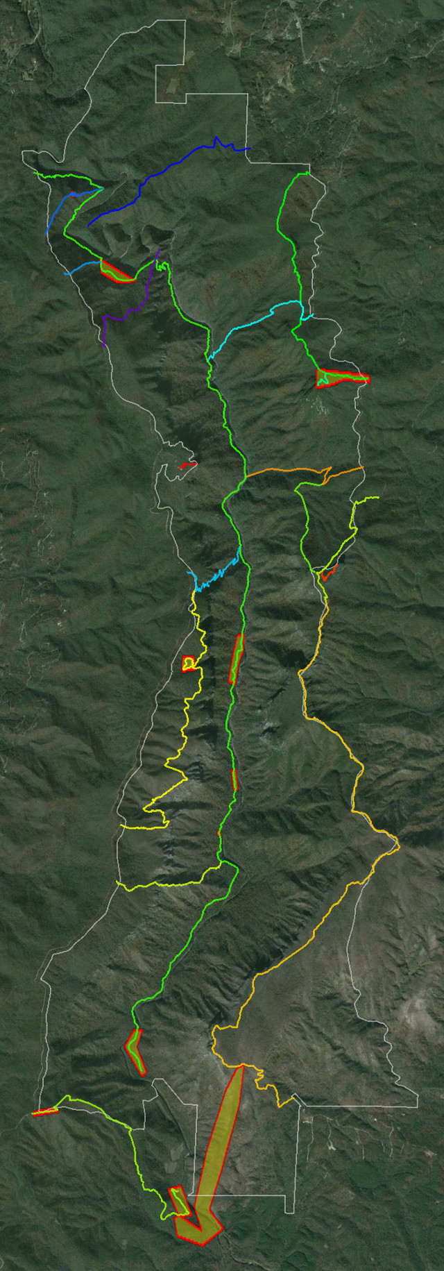
In collaboration with the gorge community, the US Forest Service has provided us with their most current GPS data for the official system trails in Linville Gorge. This is the data from which official maps are eventually derived, and it’s nice to see that most of it is very accurate. Only a few significant errors exist in the dataset, and it is for help correcting these errors that USFS has reached out to the community. If you’re interested in being a part of this project, please contact LGMAPS.

